Aerial photography provides a perspective that ground-level photography cannot capture. Using FAA compliant drone operations, Impressia creates high resolution aerial images that reveal site layout, building scale, and the relationship between architecture and its surrounding environment.
Architects, developers, and construction teams rely on aerial drone photography to document project progress, showcase completed developments, and communicate the full scope of a project site. These images help clients present their work clearly in marketing materials, presentations, and online portfolios.
Drone photography is particularly valuable for commercial architecture and large residential developments where site context plays a critical role in understanding the project. Elevated perspectives highlight circulation patterns, parking layout, landscaping, surrounding development, and overall site planning.
From car wash developments and automotive dealerships to retail centers, hospitality properties, and custom residential estates, aerial photography allows viewers to immediately understand the scale and design of a project.
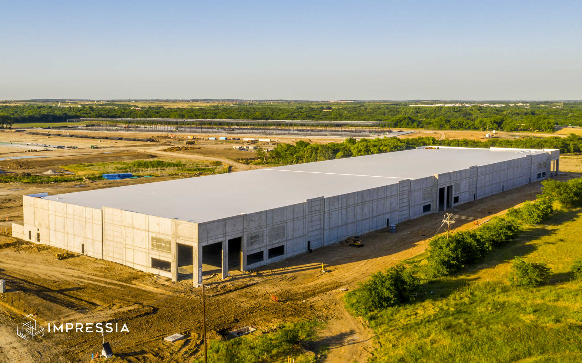
Aerial imagery is also widely used during the construction process to document project milestones and track development progress. Regularly scheduled aerial photography can provide valuable visual documentation for contractors, developers, and project stakeholders.
These photographs can be used to illustrate how a project evolves from initial site work through final completion that allow accurate visual comparison over time.
In addition to daytime aerial imagery, drone photography can also be combined with twilight conditions to create dramatic architectural perspectives. As building lighting and site illumination begin to glow, aerial twilight images reveal both the structure and the surrounding environment in a compelling and visually balanced way.
This approach is particularly effective for commercial developments and destination properties where both architecture and site context contribute to the overall visual impact.
Based in Fort Worth, Impressia provides aerial and drone photography services throughout the Dallas Fort Worth metroplex and across Texas. Projects include commercial architecture, construction documentation, development sites, and luxury residential properties.
The goal is to deliver clean, accurate drone photography that helps architects, builders, and developers communicate the scale and design of their projects with clarity.
Explore aerial architecture photography examples below.
Drone and Aerial Photography Gallery
Commercial Architecture Photography
Twilight Architecture Photography